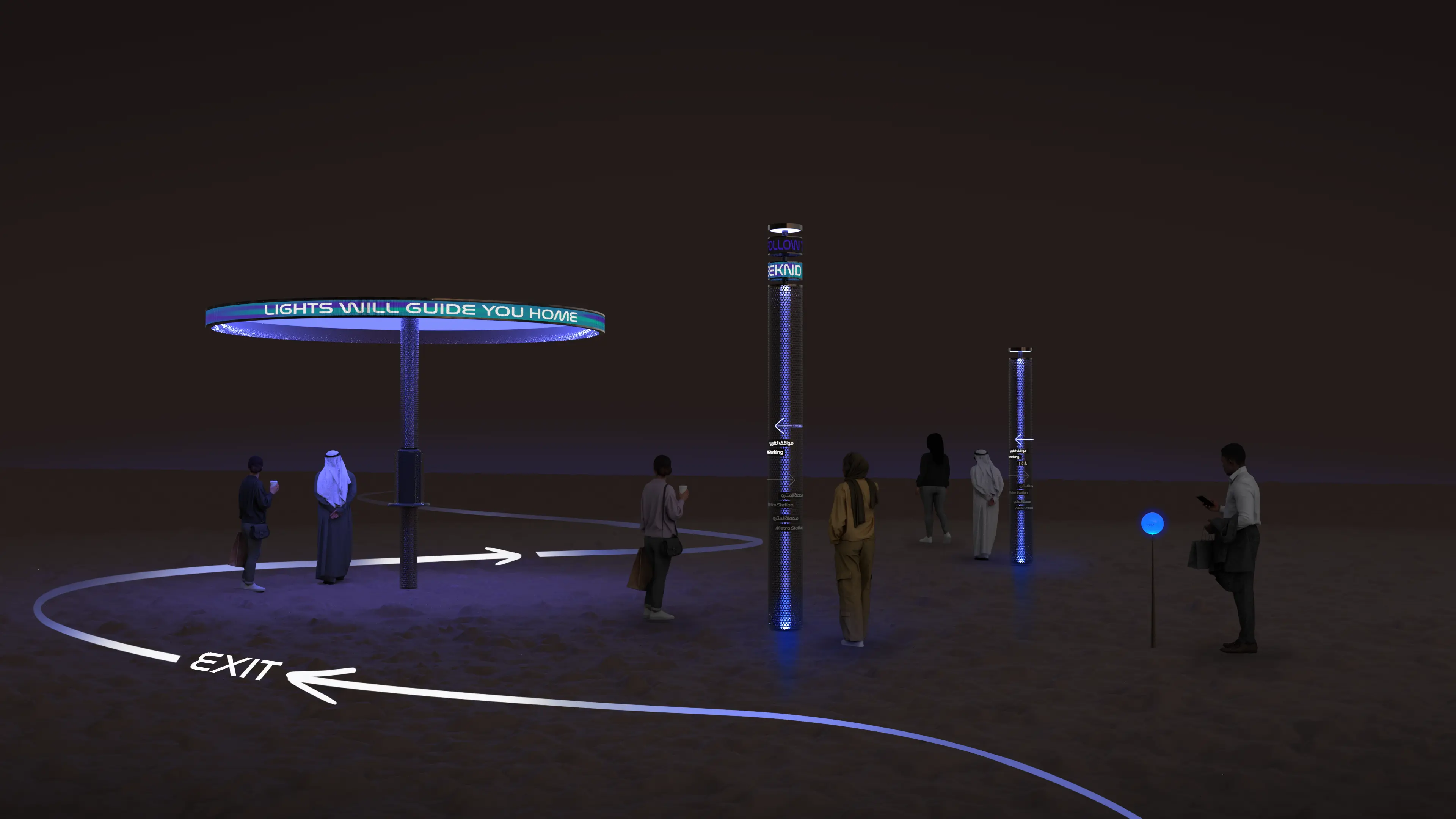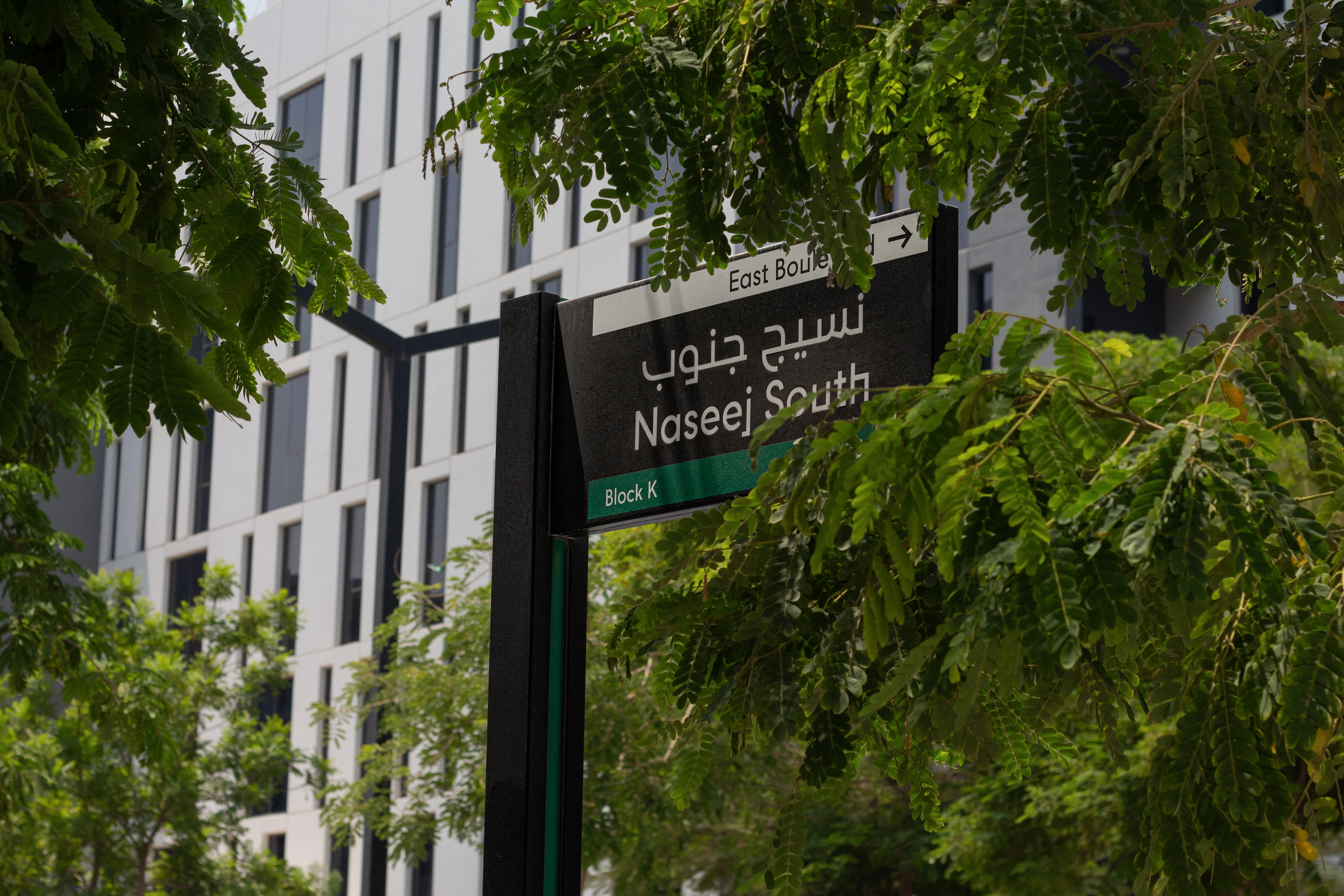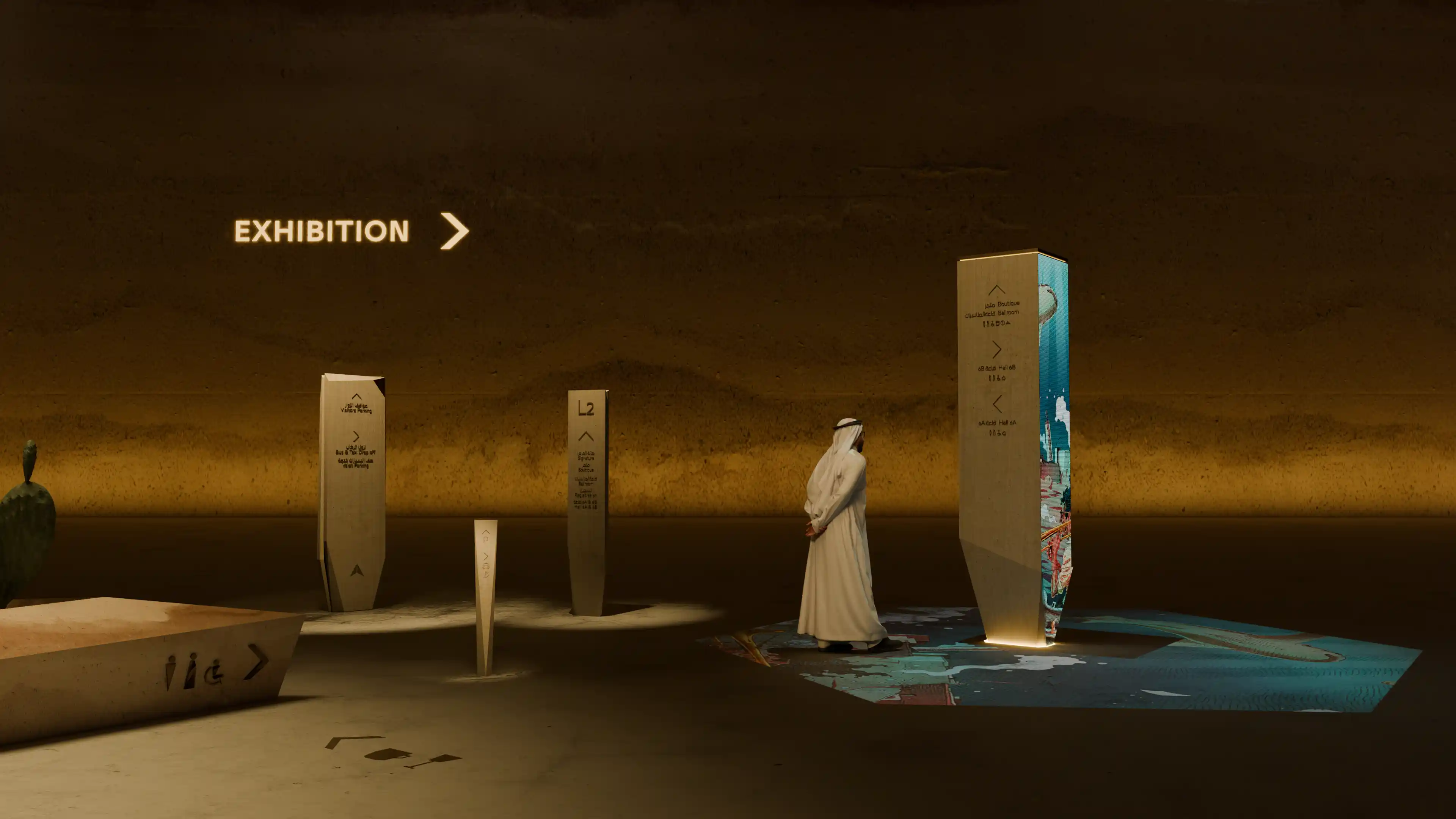




This is the central point clients need to understand about wayfinding in the built environment. It is not the design of signs around a completed building. It is the planned system that helps people orient themselves, understand where they are, decide where to go, move with confidence and recognise when they have arrived.
Signage is part of that system, but so are circulation, sightlines, entrances, landmarks, naming, zoning, landscape, lighting, public art, digital information and staff communication. Each layer can support the journey or make it harder.
For LIMAH, wayfinding sits between architecture and human behaviour. It translates the physical and operational logic of a place into an experience people can understand. The real objective is not to provide more information. It is to reduce uncertainty.

What clients are really commissioning
A wayfinding commission should define how people will understand and move through an environment. The visible outputs may include signs, maps, directories, digital interfaces and environmental graphics, but those outputs should follow a deeper system of decisions.
At different points in a journey, users are trying to answer five basic questions:
- Where am I?
- Where is my destination?
- Which route should I take?
- Am I still moving in the right direction?
- Have I arrived?
A strong wayfinding system answers those questions in sequence. It does not ask the user to understand the entire building at once. It provides the right cue at the moment a decision is required, then confirms progress as the journey continues.
The appropriate cue may be a visible entrance, a clear route, a recognisable lift core, a memorable artwork, a change in material, a consistent destination name, a digital update or a sign. The consultant's role is to determine which tools should carry which parts of the journey and make sure they operate as one system.
This distinction matters during procurement. A client buying a signage package is commissioning graphic and technical outputs. A client commissioning wayfinding is asking how the environment, information and operations should work together. These scopes can overlap, but they are not interchangeable.
Why wayfinding begins before signage design
Many of the decisions that determine whether a place will be easy to navigate are made during planning and architectural design. The location of arrival points, the visibility of entrances, the relationship between floors, the hierarchy of routes and the position of major destinations all affect how quickly users can understand the environment.
Once these elements are fixed, the range of available solutions narrows. Signage can clarify a difficult junction, but it cannot make a hidden entrance visible from the approach. A map can explain a complicated plan, but it cannot remove unnecessary decisions from the journey. A digital tool can guide an individual user, but it does not resolve conflicting terminology across the building.
This does not mean late involvement has no value. Existing assets can be audited and improved, and projects in advanced design can still reduce significant confusion. The difference is that early work can prevent problems, while late work is more likely to manage constraints that already exist.
For a new development, the strongest time to appoint wayfinding expertise is while circulation, entrances, destination relationships, naming and operational flows can still be influenced. For an existing environment, the starting point should be observation and diagnosis rather than an immediate assumption that more signs are required.
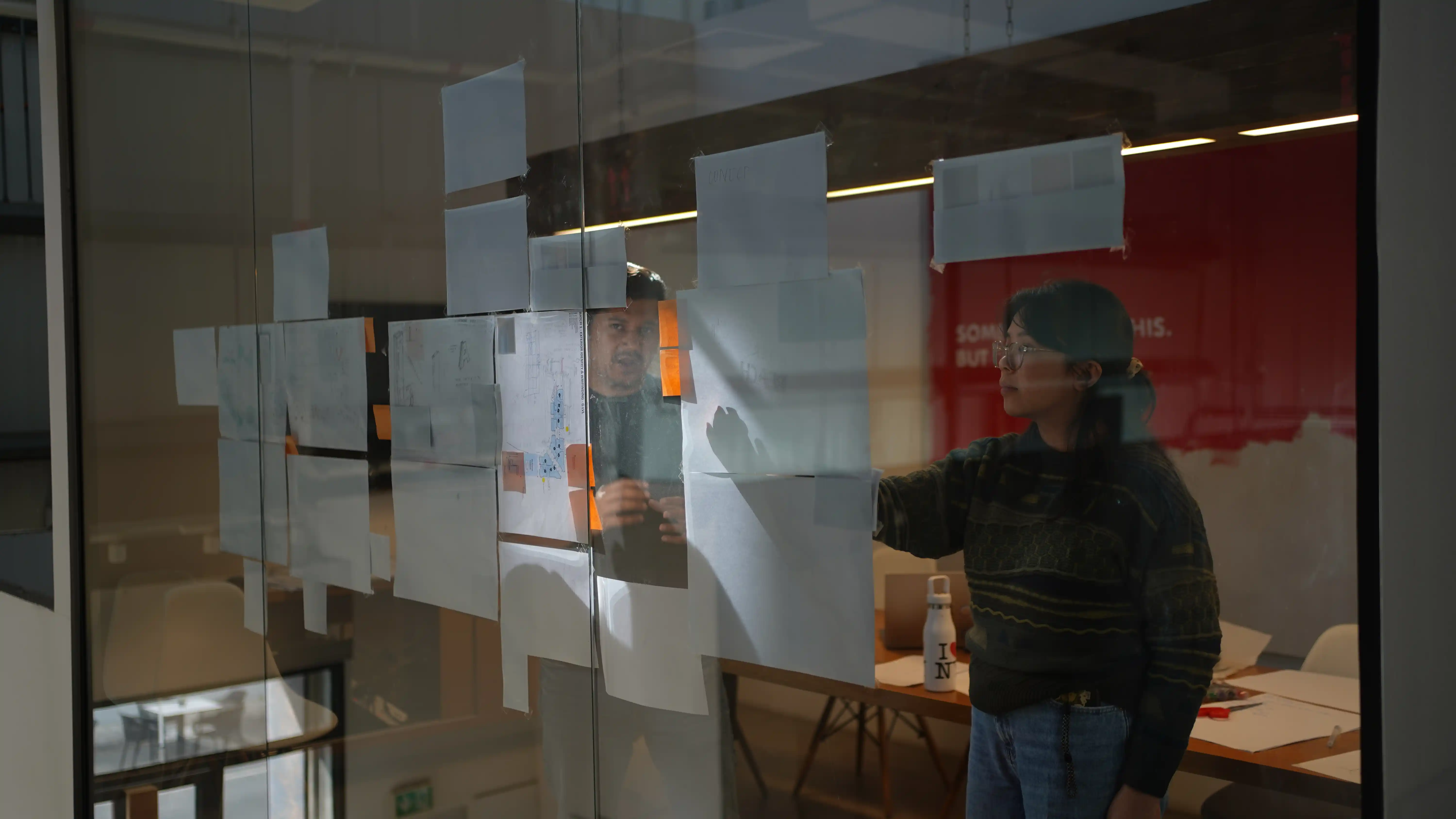
The system is broader than most wayfinding briefs
Effective wayfinding combines several layers. The balance changes according to the project, but clients should expect the consultant to understand how these layers interact.
Spatial logic and circulation
People read the arrangement of space before they read information. Route hierarchy, visibility, thresholds, vertical circulation and the relationship between destinations all influence the decisions users make.
Spatial and circulation analysis examines whether intended routes are understandable in practice. It identifies where users are likely to hesitate, where routes compete, where sightlines fail and where the environment creates more choice than the journey requires.
User journeys and decision points
Different users can experience the same place very differently. A first-time visitor, member of staff, resident, patient, passenger, delivery driver and person with reduced mobility may enter from different locations, carry different levels of familiarity and require different information.
Mapping those journeys reveals the moments at which a user must choose, confirm or recover. These decision points are where spatial cues and information must work together. If a required cue is missing or appears after the decision, the system has already broken its sequence.
Destination hierarchy, naming and zoning
Users cannot follow a system if the project has not agreed what places are called or how destinations relate to one another. Department names, tenant names, building names, zones, levels and public amenities need an understandable hierarchy.
Naming is not simply an operational or branding decision. It affects what appears on signs, maps, websites, apps, booking confirmations and verbal directions. When different teams use different terms for the same destination, users are forced to translate between systems.
Environmental cues and landmarks
Architecture, landscape, lighting, colour, materials and public art can help people recognise areas and build a mental understanding of a place. A visible atrium, distinctive artwork or change in landscape character can become a more memorable reference than a room number or corridor name.
These elements are most effective when they are connected to the navigation logic. Decoration does not automatically create a landmark. A useful landmark must be noticeable, distinctive, located where it supports orientation and described consistently when it is used in directions.
Information, signage and mapping
Signage remains essential in many environments. It identifies destinations, communicates choices, confirms routes, supports regulation and provides reassurance. Its effectiveness depends on message hierarchy, placement, visibility, legibility, terminology and continuity across the journey.
Maps and directories serve a different purpose. They help users understand relationships and plan movement, but they require more time and attention than a directional sign. They should be used where users can stop without obstructing movement and where the information helps them make a meaningful decision.
The objective is not to minimise signage at any cost. It is to use the necessary amount of information, in the right form and location, without asking signs to correct failures elsewhere.
Physical and digital information
Users may begin their journey on a website, in a booking email, through a mobile map or with information from a transport service. Their understanding should not collapse when they reach the physical environment.
Names, destinations, entrances, routes and accessibility information need to remain consistent across physical and digital touchpoints. Digital tools can provide live updates, personalisation and greater language flexibility, but they should extend the physical system rather than create a separate version of the place.
Accessibility and operational communication
An environment is not working well if people can only navigate it with assistance. Accessible wayfinding considers different visual, auditory, cognitive, physical and language needs, as well as the effects of stress, fatigue and unfamiliarity.
Staff also form part of the system. Reception teams, security personnel, operators and customer-facing employees need to use the same destination names and route logic as the signs and digital channels. If staff instructions contradict the formal system, the user is left deciding which source to trust.
What a good client brief should ask the consultant to solve
A useful brief should describe the project, users, operational conditions and desired outcomes before prescribing the number or type of signs. It should allow the consultant to investigate why uncertainty may occur and recommend the appropriate combination of interventions.
The scope should normally address the following questions:
- Who uses the environment, and which journeys matter most?
- Where do users arrive, orient themselves, make decisions and confirm arrival?
- Does the architecture support those journeys?
- How should destinations be organised, named and prioritised?
- Which information belongs on signs, maps, digital tools or other touchpoints?
- How will accessibility be embedded across the complete journey?
- Which project disciplines must coordinate with the wayfinding system?
- How will the system be tested, implemented, maintained and updated?
The brief should also distinguish between consultancy, design, technical documentation, fabrication and installation. These are connected stages, but they require different expertise and carry different responsibilities. Ambiguity at appointment stage often becomes duplication, gaps or conflicting expectations later.
What clients should expect through the project
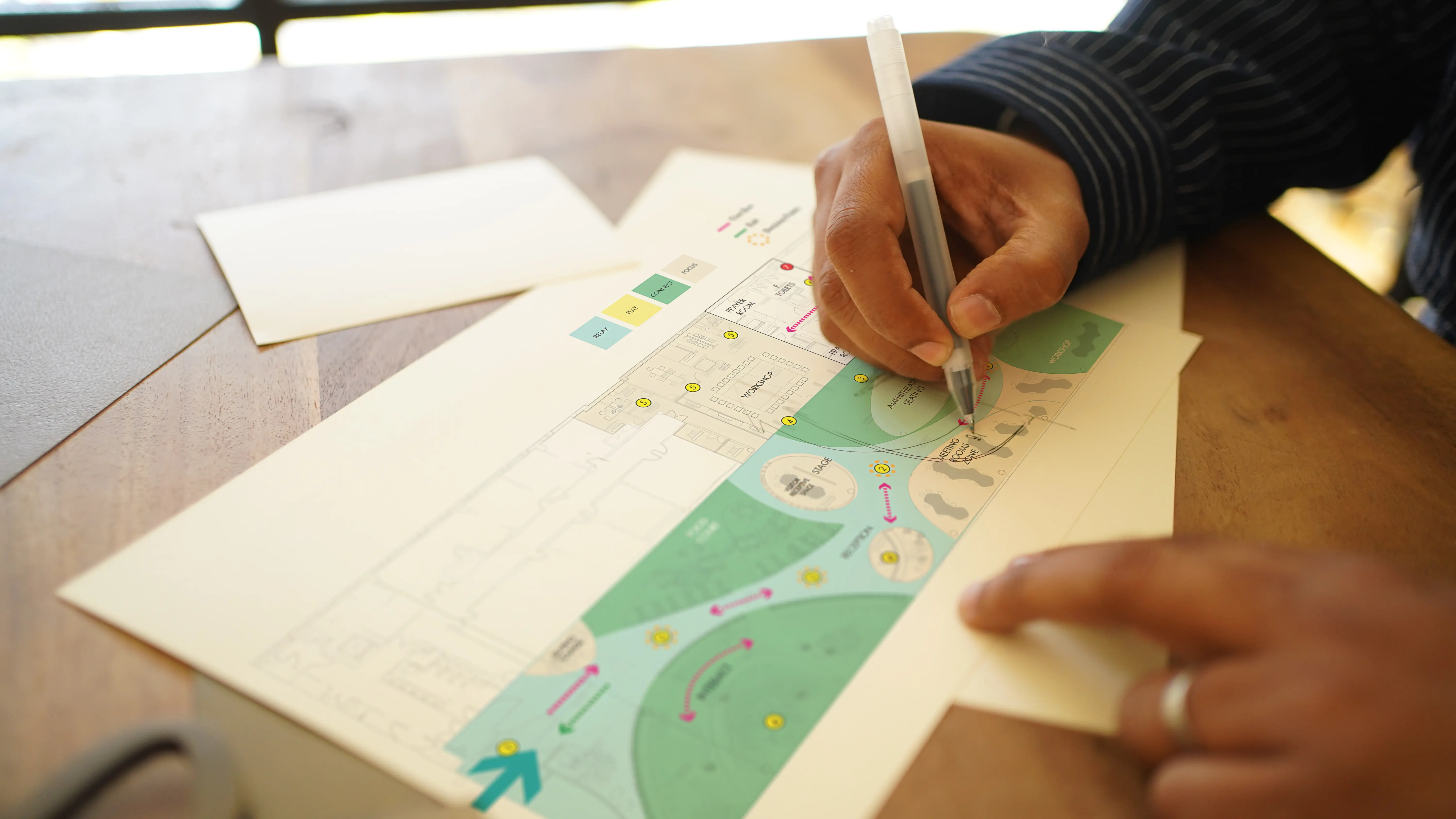
The precise process will depend on the scale and complexity of the environment, but a serious wayfinding commission should move from understanding to strategy, design, delivery and validation.
Discovery and diagnosis
The consultant should begin by understanding the asset rather than assuming the answer. This may include stakeholder discussions, drawing reviews, site observation, user-group definition, journey mapping, circulation analysis, accessibility review and identification of operational constraints.
The purpose is to reveal where uncertainty is likely to occur and which causes sit within space, information, operations or a combination of all three.
Strategy and system logic
The strategy should establish the rules that later design decisions will follow. It may define destination hierarchy, naming, zoning, route logic, decision points, information sequence, the role of environmental cues and the relationship between physical and digital channels.
A strategy is useful when it allows the project team to judge whether a proposed intervention supports the user journey. It should control the system, not merely describe the project.
Design and coordination
Once the logic is agreed, the consultant can develop the relevant design components. These may include signage families, maps, directories, environmental graphics, digital touchpoints and the integration of landmarks or other spatial cues.
Coordination is critical. Architecture, interiors, landscape, lighting, branding, public art, accessibility, digital systems and operations can each strengthen or weaken the same journey. Wayfinding needs to connect these workstreams without replacing their individual responsibilities.
Technical delivery and implementation
The design must be translated into coordinated information that can be priced, produced, installed and reviewed. Depending on the appointment, this may include location plans, message schedules, sign drawings, mapping, material specifications, performance requirements, tender information, mock-ups and site reviews.
Clients should confirm who is responsible for content approvals, translation, technical coordination, fabrication oversight, site changes and final sign-off. A good strategy can still be weakened if delivery responsibilities are unclear.
Testing, validation and governance
Wayfinding should be reviewed from the user's perspective before and after opening. Desktop reviews can test journeys and message continuity during design. Mock-ups can assess visibility, scale and legibility. On-site reviews can identify obstructions, changed routes or differences between drawings and the completed environment.
After opening, observation and user feedback can reveal where people hesitate, backtrack or seek assistance. Governance then keeps terminology, maps, signs and digital information aligned as tenants, departments, routes and operations change.
How to assess a wayfinding consultant
Clients do not need to become wayfinding specialists, but they should be able to recognise whether a proposal addresses the actual problem.
A capable consultant should be able to explain:
- How they will understand user groups and journeys before designing outputs.
- How they assess circulation, visibility, decision points and spatial legibility.
- How architecture, information, operations and accessibility will be coordinated.
- How naming, messaging and destination hierarchy will be agreed.
- How physical and digital information will remain consistent.
- How the system will be tested and evaluated.
- How the work will be documented, delivered and managed after opening.
Portfolio images are useful, but they show only the visible result. Clients should also ask what problem was solved, which decisions the consultant influenced, how the strategy shaped the final outcome and what constraints had to be resolved.
The consultant should be willing to question a narrow brief when it prevents a stronger result. That does not mean taking over the architect's or operator's role. It means identifying where decisions made elsewhere will affect the user's ability to understand the place.
Comparing proposals requires more than comparing fees
Two proposals carrying the word 'wayfinding' may contain very different scopes. One may cover strategic analysis, user journeys, naming, spatial coordination, signage design, technical documentation and implementation support. Another may begin with a list of signs and end with graphic templates.
Clients should compare the thinking, stages, responsibilities and exclusions behind the fee. Questions worth resolving include:
- Which project stages are included?
- Is the scope strategic, design-led, technical or a combination?
- Are user research, site analysis, naming and messaging included?
- Does the consultant coordinate with architecture, interiors, landscape, lighting and digital teams?
- Are maps, accessibility reviews, translations and content approvals included?
- Who prepares tender and construction information?
- Who reviews mock-ups, fabrication information and installation?
- What happens when the project, tenant mix or destination list changes?
A lower fee may be appropriate when the scope is genuinely smaller. The risk comes from comparing unlike services as if they will produce the same outcome. A clear appointment protects both the client and consultant because it defines what is being solved, what will be delivered and where responsibility sits.
How to judge whether the system is working
Wayfinding performance is visible in behaviour. Clients should look beyond whether signs have been installed according to drawings and examine whether people can complete journeys with reasonable independence and confidence.
Useful indicators may include:
- Hesitation or backtracking at important decision points.
- Repeated requests for directions from staff.
- Users arriving at the wrong entrance, floor or destination.
- Congestion caused by people stopping to interpret information.
- Inconsistent names across signs, maps, apps and staff directions.
- Accessibility barriers across the complete route.
- Temporary signs appearing repeatedly after opening.
- The time and effort required to update the system when the asset changes.
These indicators do not all require complex technology. Observation, staff feedback, user interviews, complaints and route testing can reveal where the system is under pressure. Larger or digitally connected assets may also use movement data and search behaviour, provided the data is collected and interpreted responsibly.
The purpose of measurement is not to prove that every user will follow the same path. It is to identify recurring uncertainty and decide whether the cause lies in the environment, information, operations or their coordination.
A place should carry more of the navigational burden
The strongest wayfinding systems do not make users work harder. They make the environment easier to understand.
That requires more than attractive signs. It requires clear spatial logic, an ordered destination structure, consistent information, appropriate environmental cues, accessible journeys and disciplined coordination from early design through operation.
For clients, the key decision is therefore not simply who will design the signage. It is who can understand the complete journey, identify where uncertainty enters the system and help the wider project team remove it.
LIMAH approaches Wayfinding & Navigation as part of Built Environment Experience Design. We work with clients and design teams to connect architecture, human behaviour, information and operations so that complex places can be understood with greater confidence.
When a project is still being planned, the opportunity is to build clarity into the environment. When the asset already exists, the opportunity is to identify where the journey is failing and correct the system rather than adding isolated fixes. In both cases, the right starting point is the same: understand how people experience the place before deciding what should be designed.