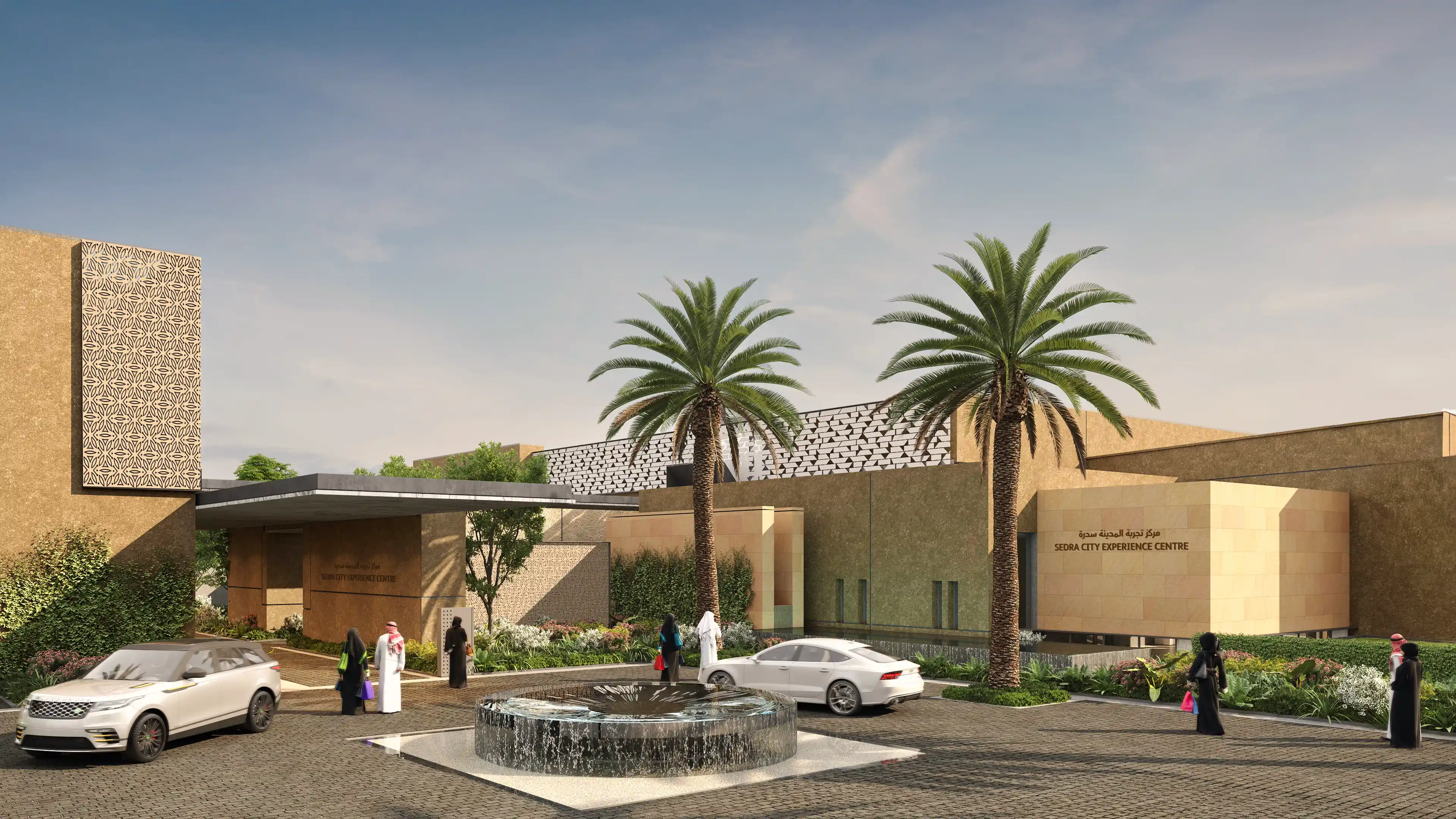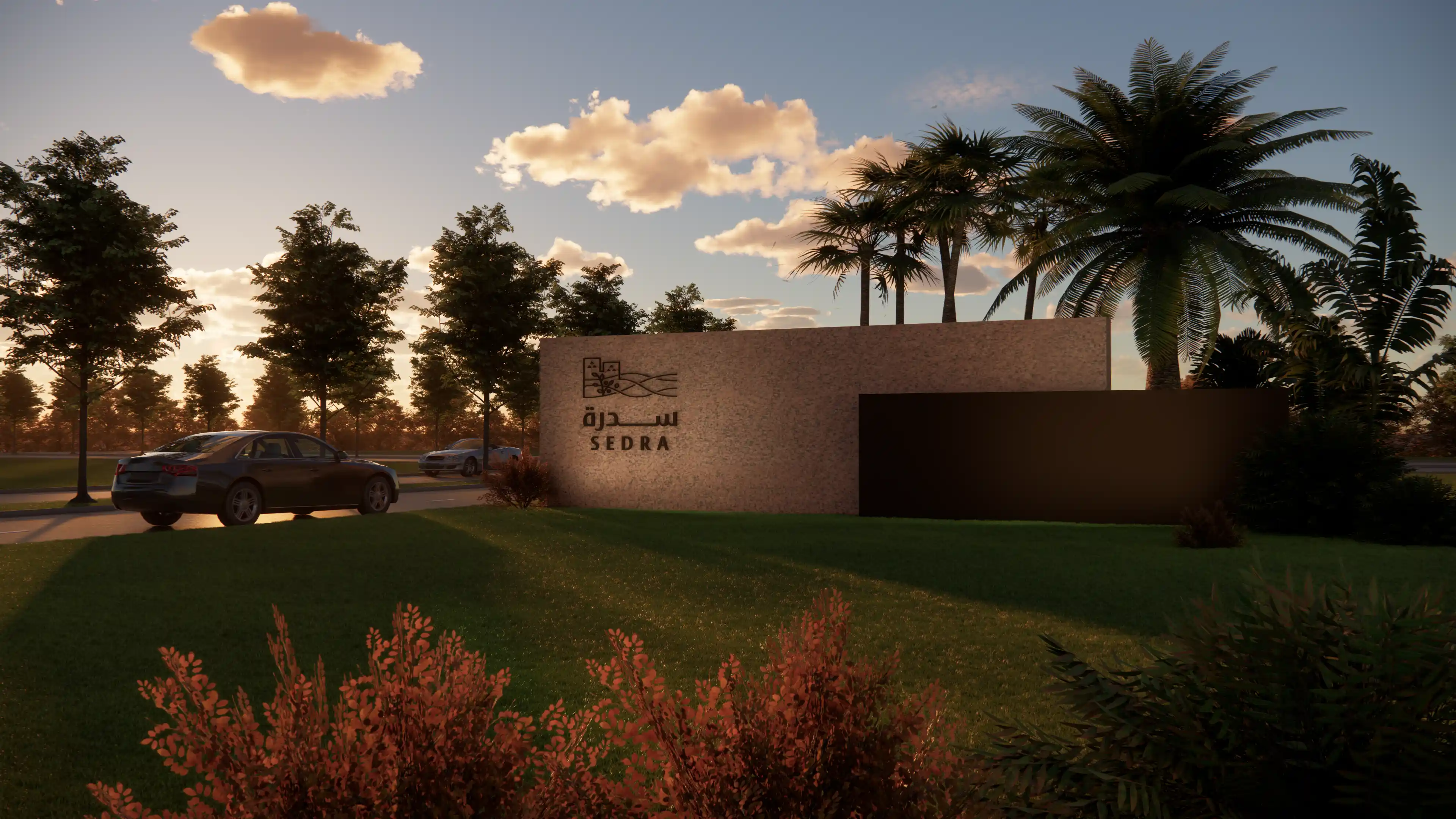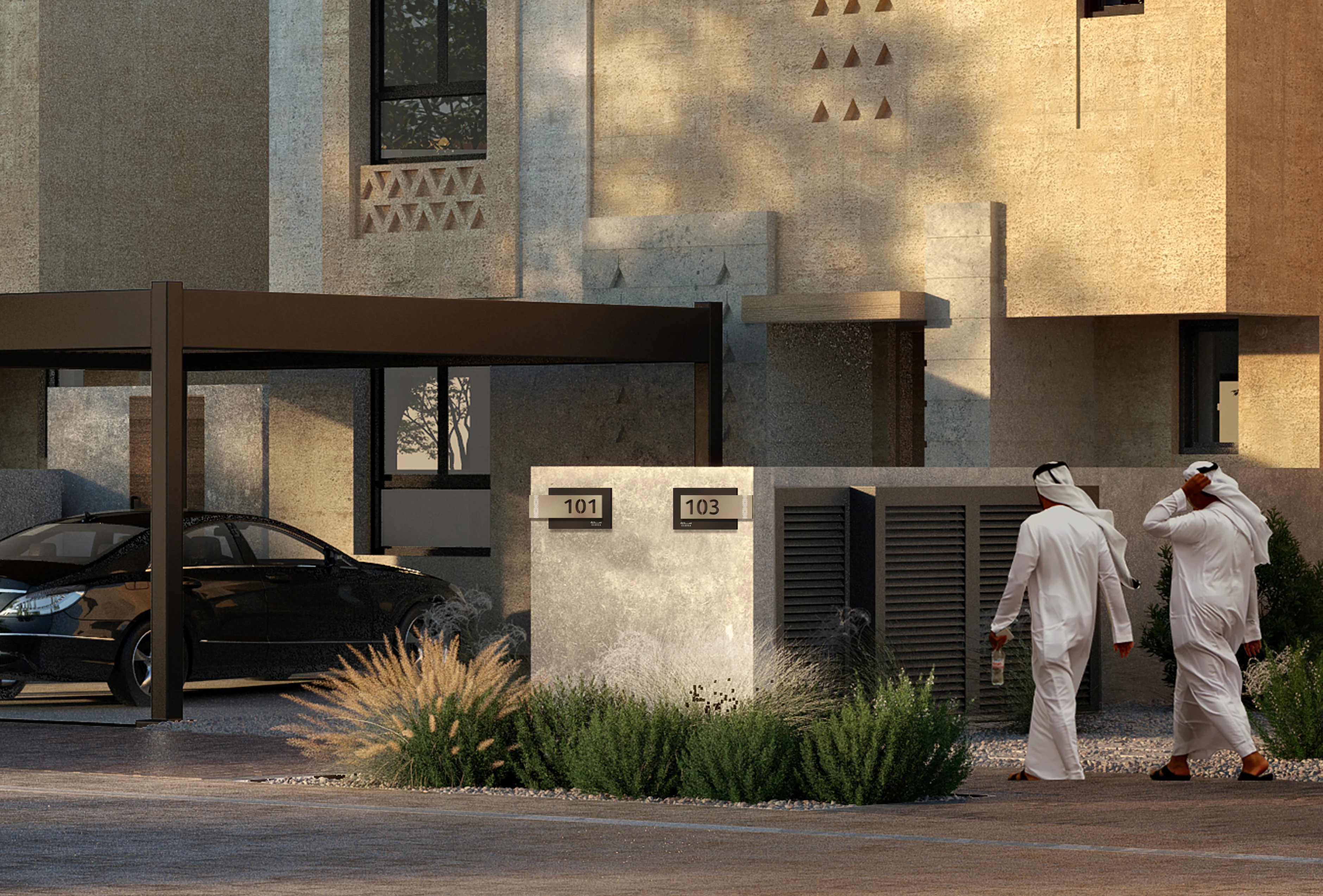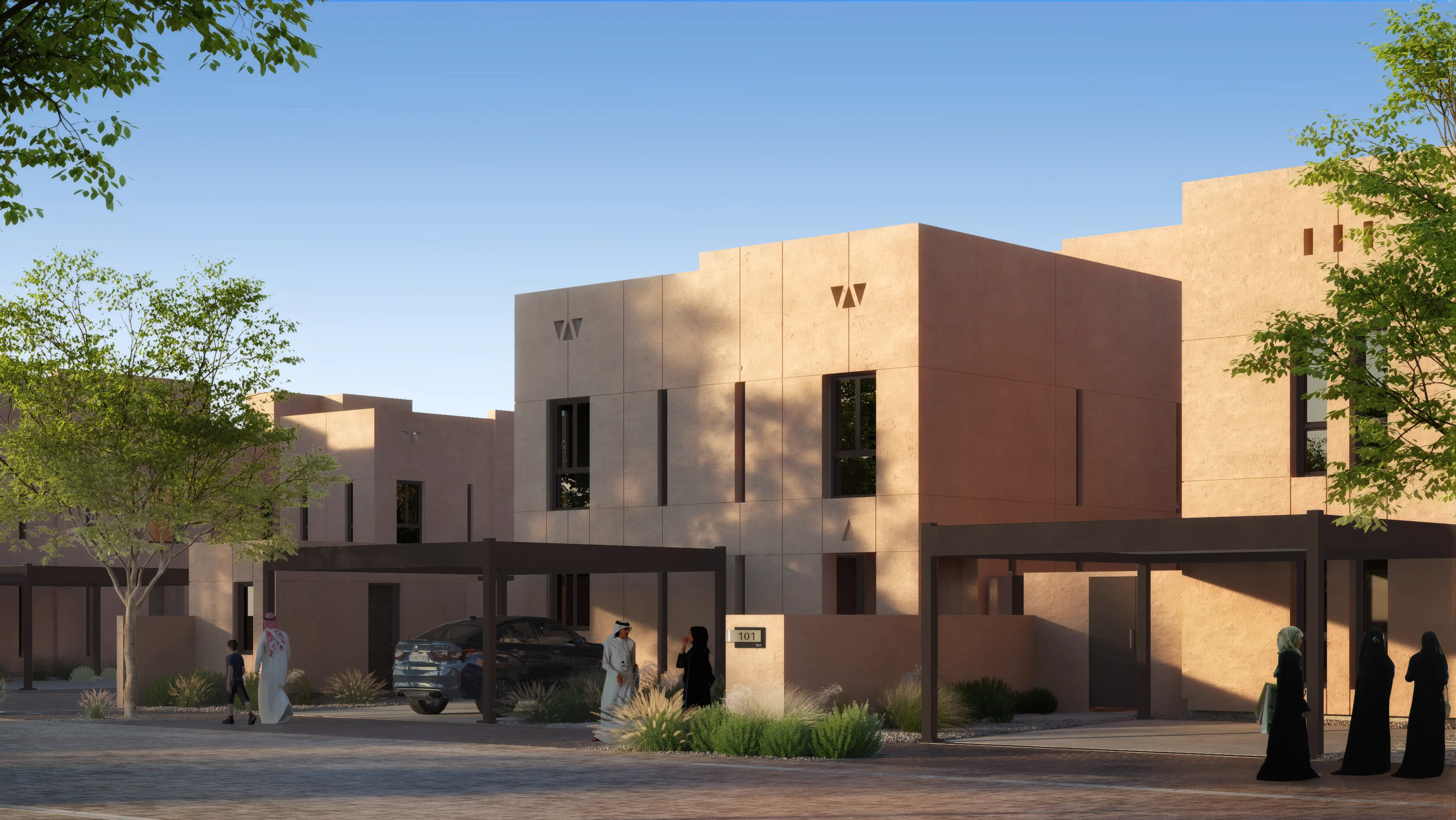



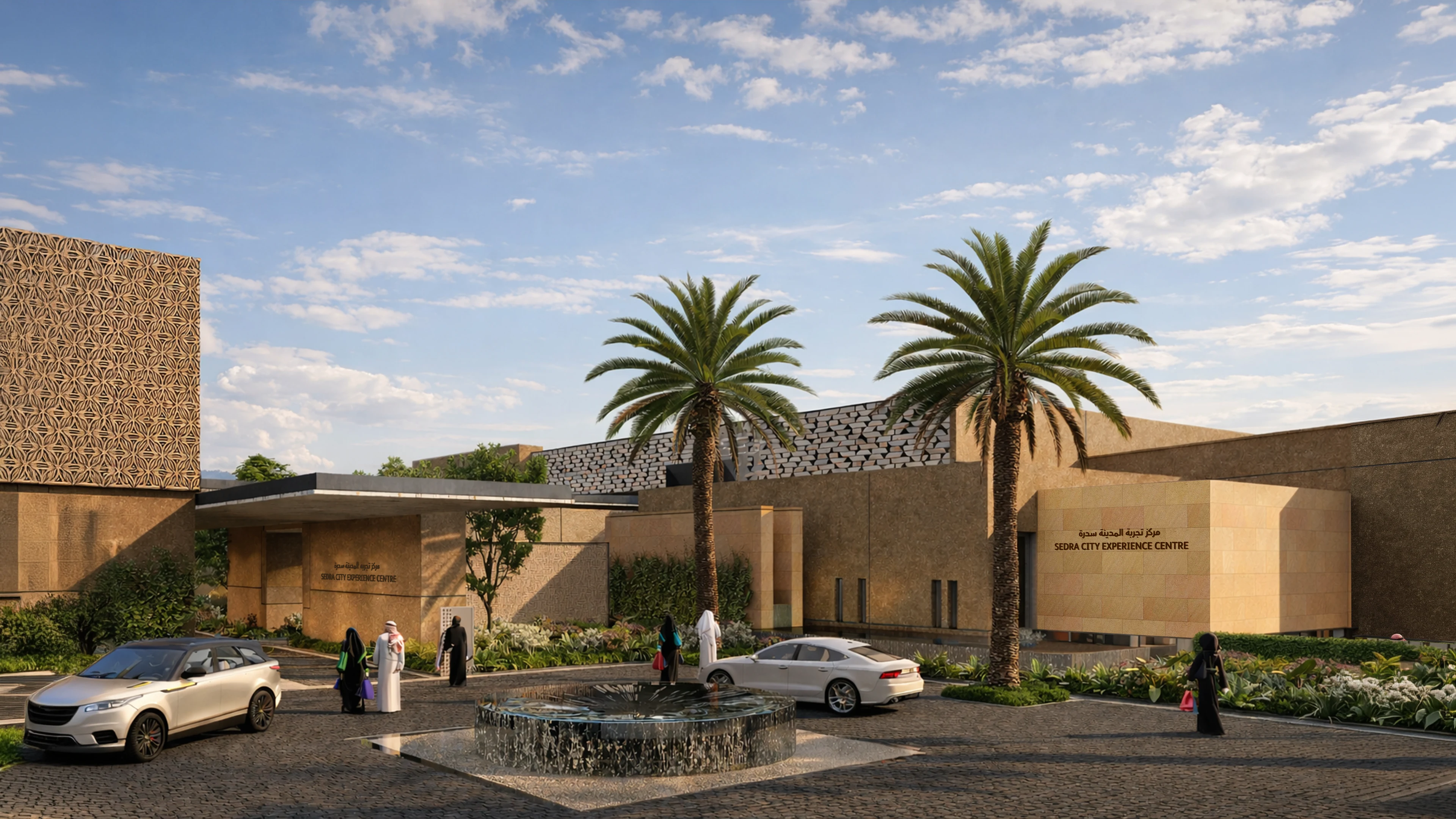
Located in the north of Riyadh between King Khalid International Airport and Wadi Sulay, SEDRA is a large-scale urban development by ROSHN that introduces a new model for contemporary living across approximately 25 million square metres. Designed as a connected urban environment, the township combines residential neighbourhoods, open landscapes, pedestrian infrastructure, and micro mobility networks to support walkability, wellbeing, and long-term sustainability at city scale.
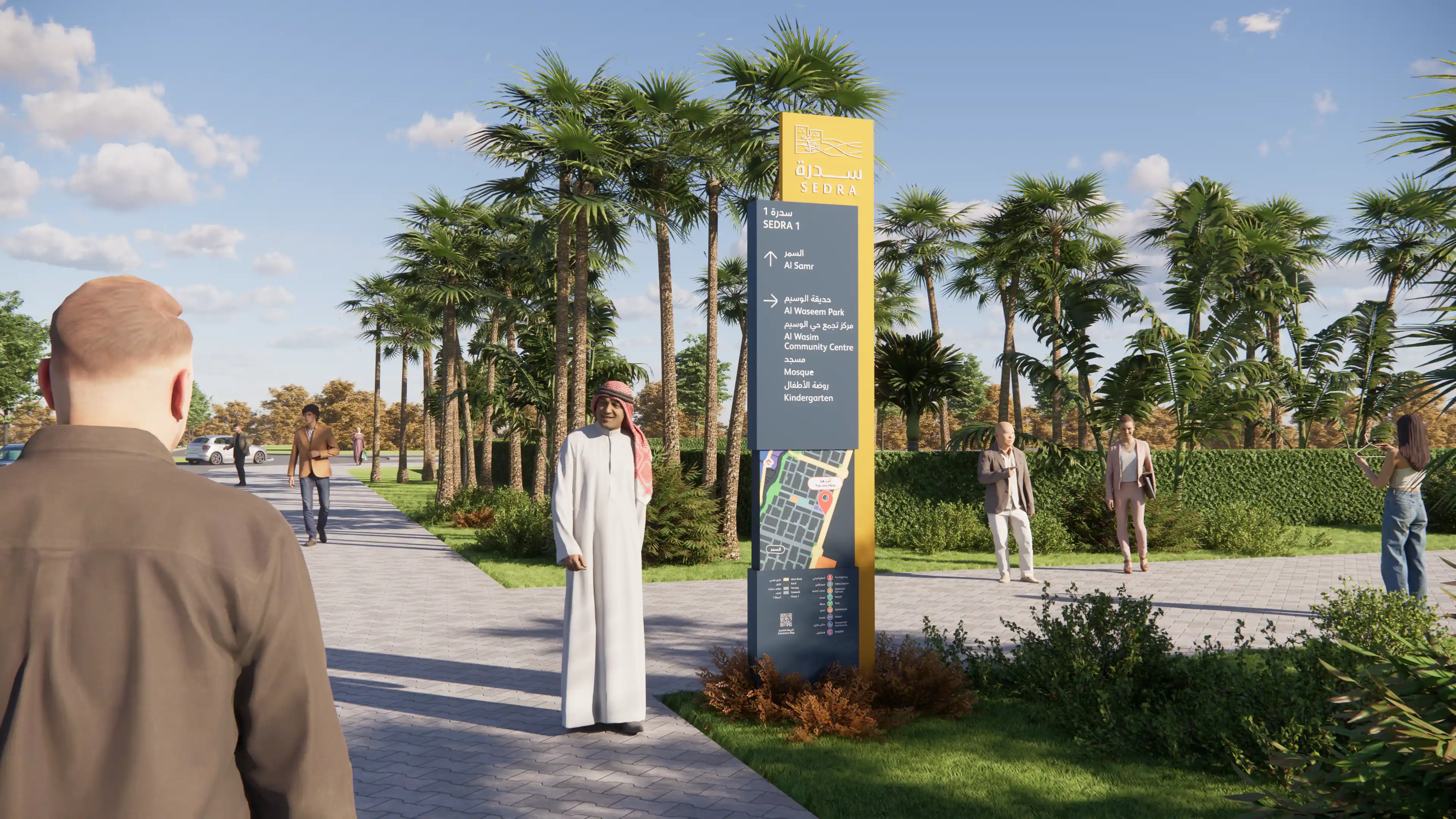
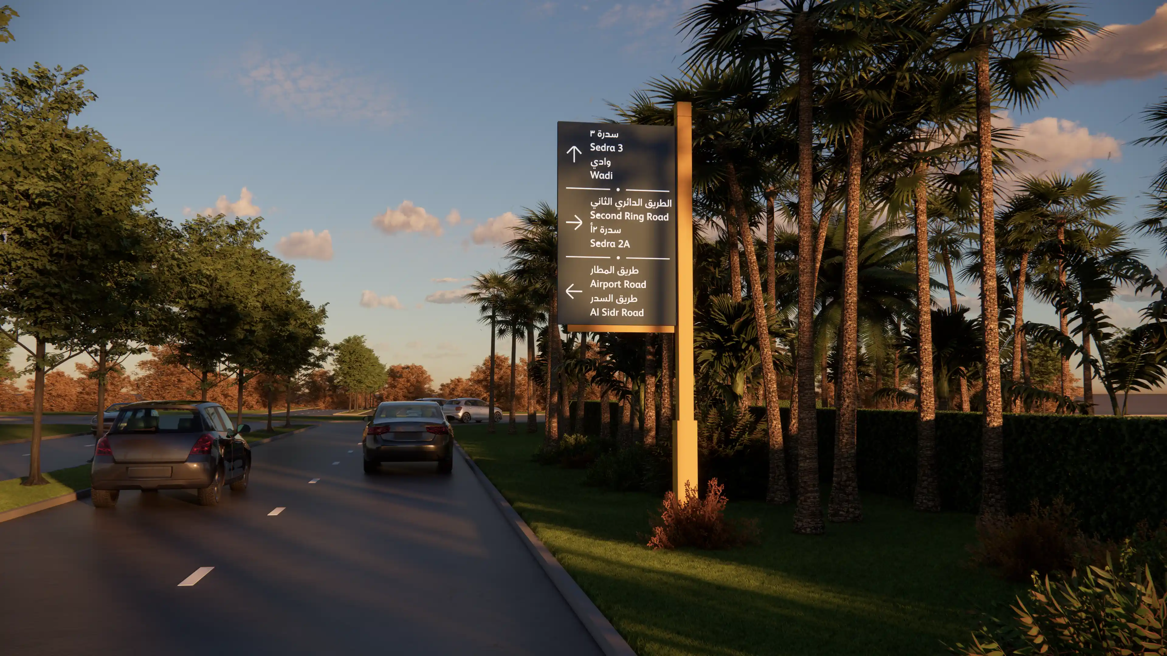
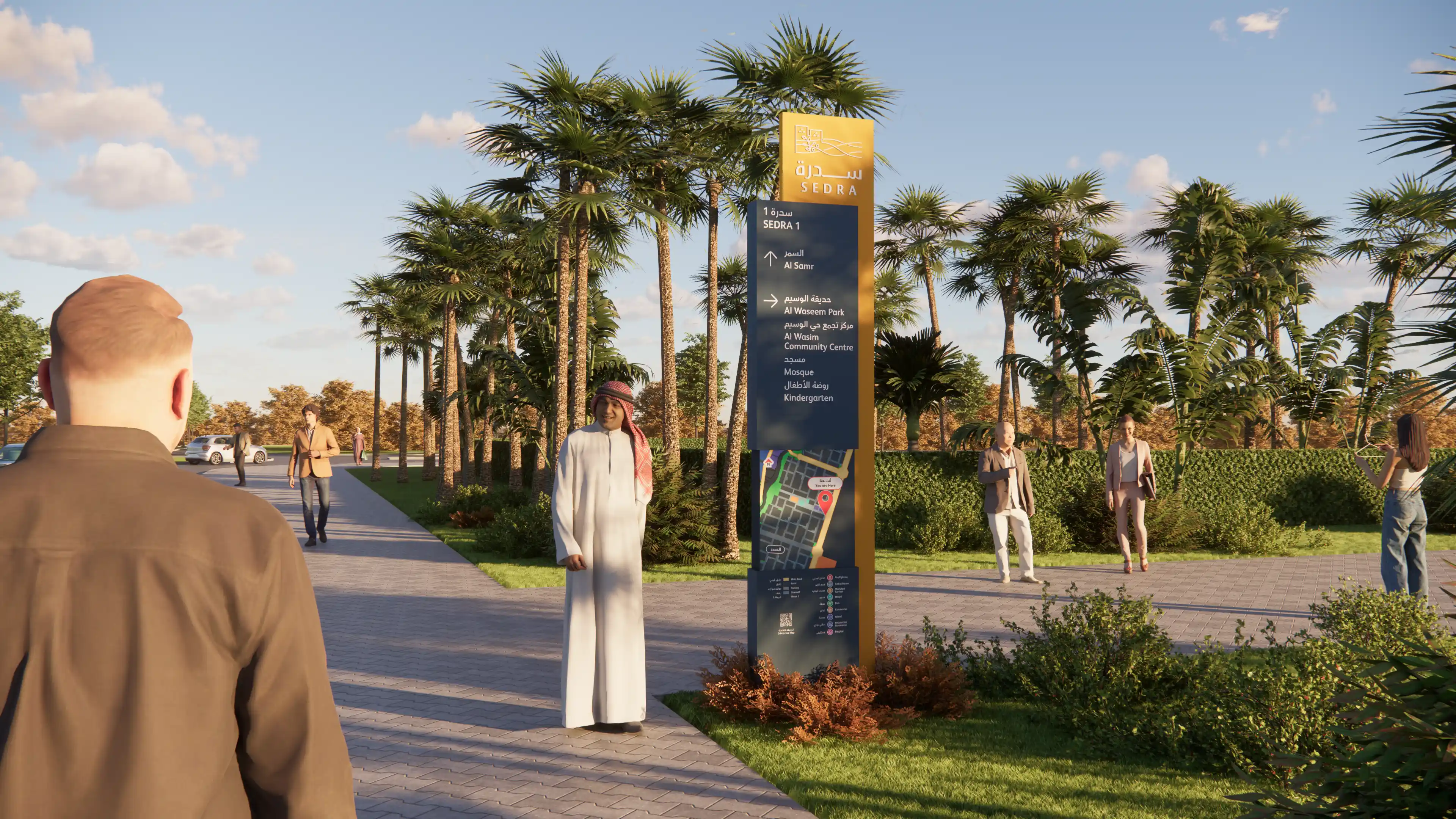
We were appointed to develop the wayfinding and signage strategy for the exterior public realm, alongside a public art framework that contributes to orientation, identity, and memorable experiences throughout the development. The project required the creation of a navigational system capable of supporting an evolving city while remaining legible across multiple districts, neighbourhoods, and phases of growth.
Our approach focused on shaping navigation through layered spatial understanding, structured hierarchies, and landmark-driven experiences that help residents and visitors build familiarity with the township over time.
STRATEGIC DRIVERS
- Establishing a scalable navigation framework across a rapidly evolving city-scale development
- Supporting safe and intuitive movement for residents, visitors, service teams, and emergency vehicles
- Creating clear hierarchies for destinations, districts, streets, and messaging systems
- Integrating public art as a tool for orientation, placemaking, and identity
- Aligning the wayfinding strategy with updated ROSHN guidelines and evolving masterplan conditions