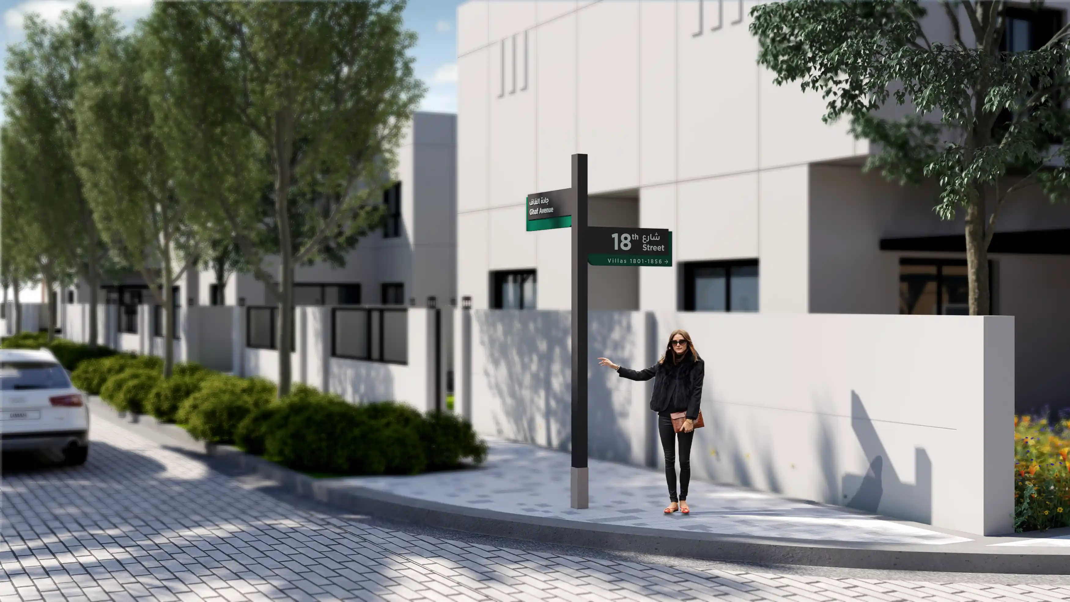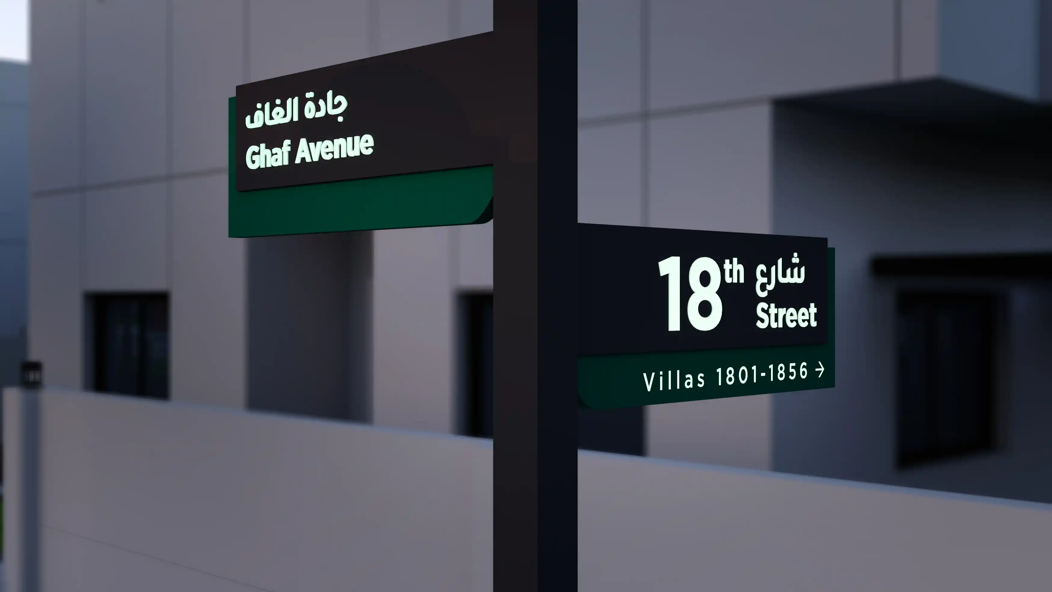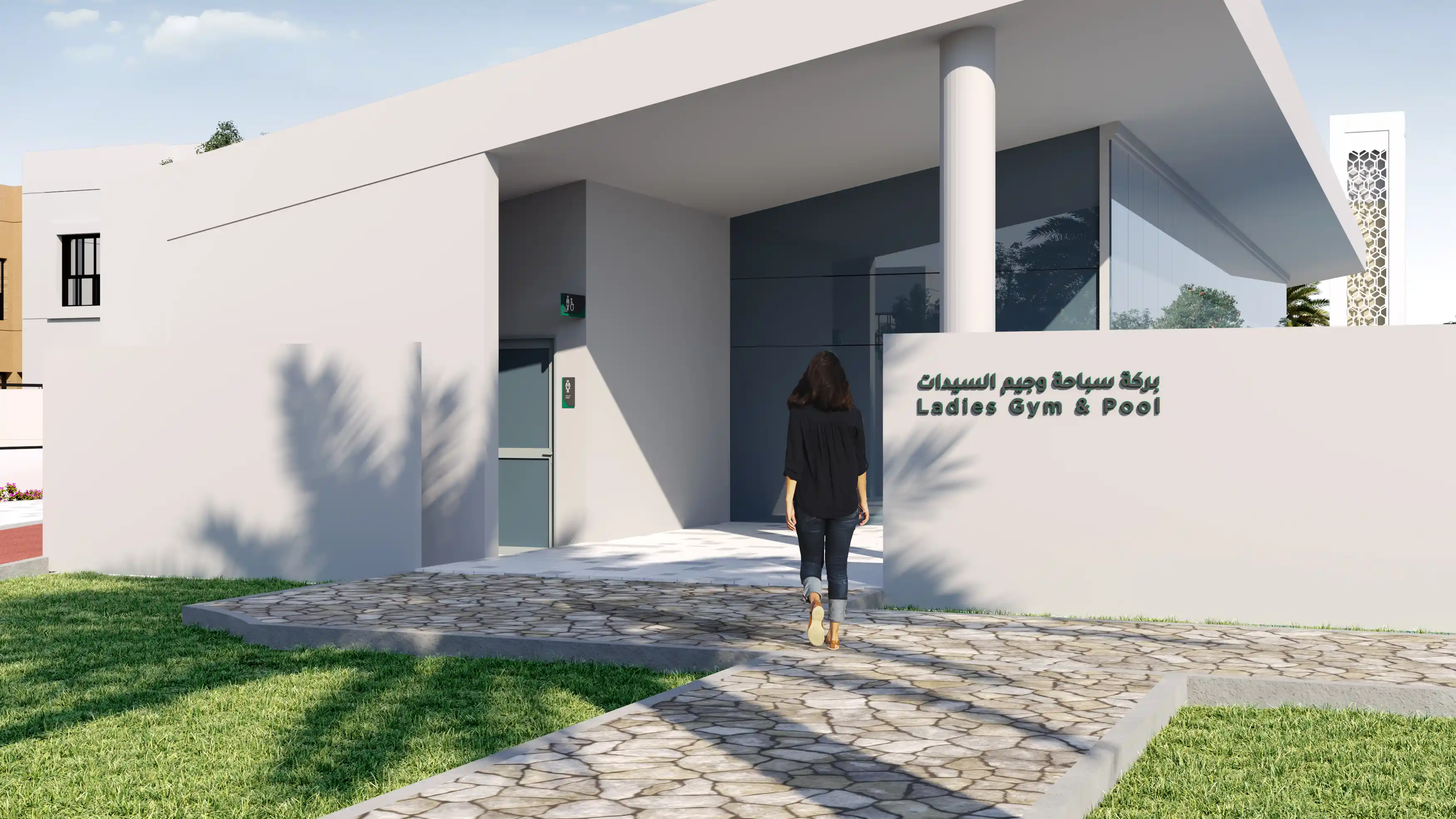

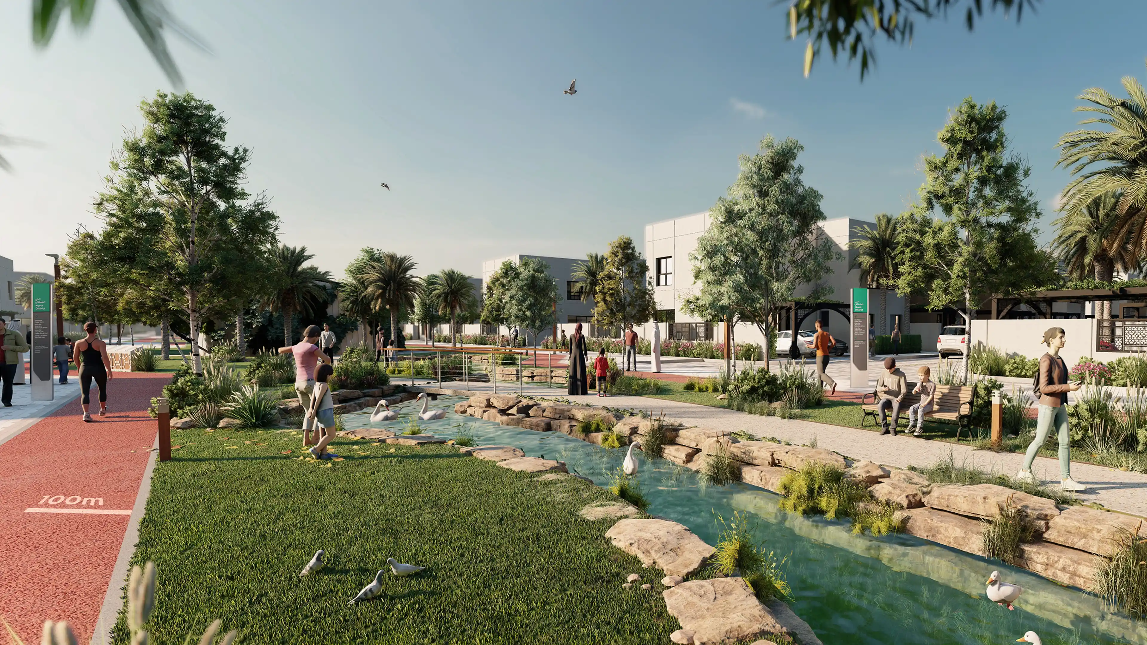
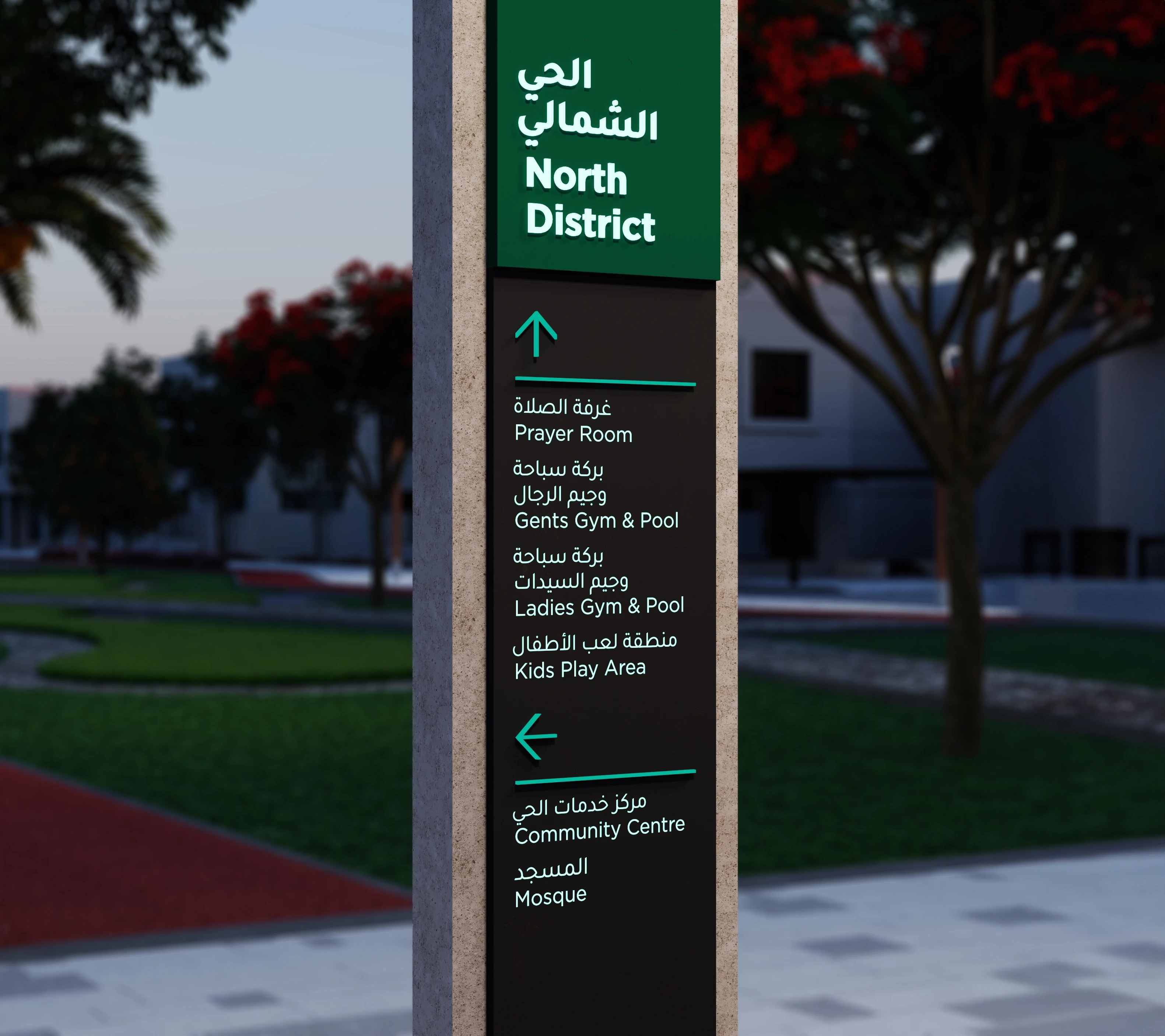
Pedestrian Directional signage at Sharjah Sustainable City, as part of LIMAH's masterplan wayfinding strategy
Project
/

Sharjah Sustainable City

Sharjah, UAE

Sharjah Sustainable City
2021
Project
/

Sharjah Sustainable City

Sharjah, UAE

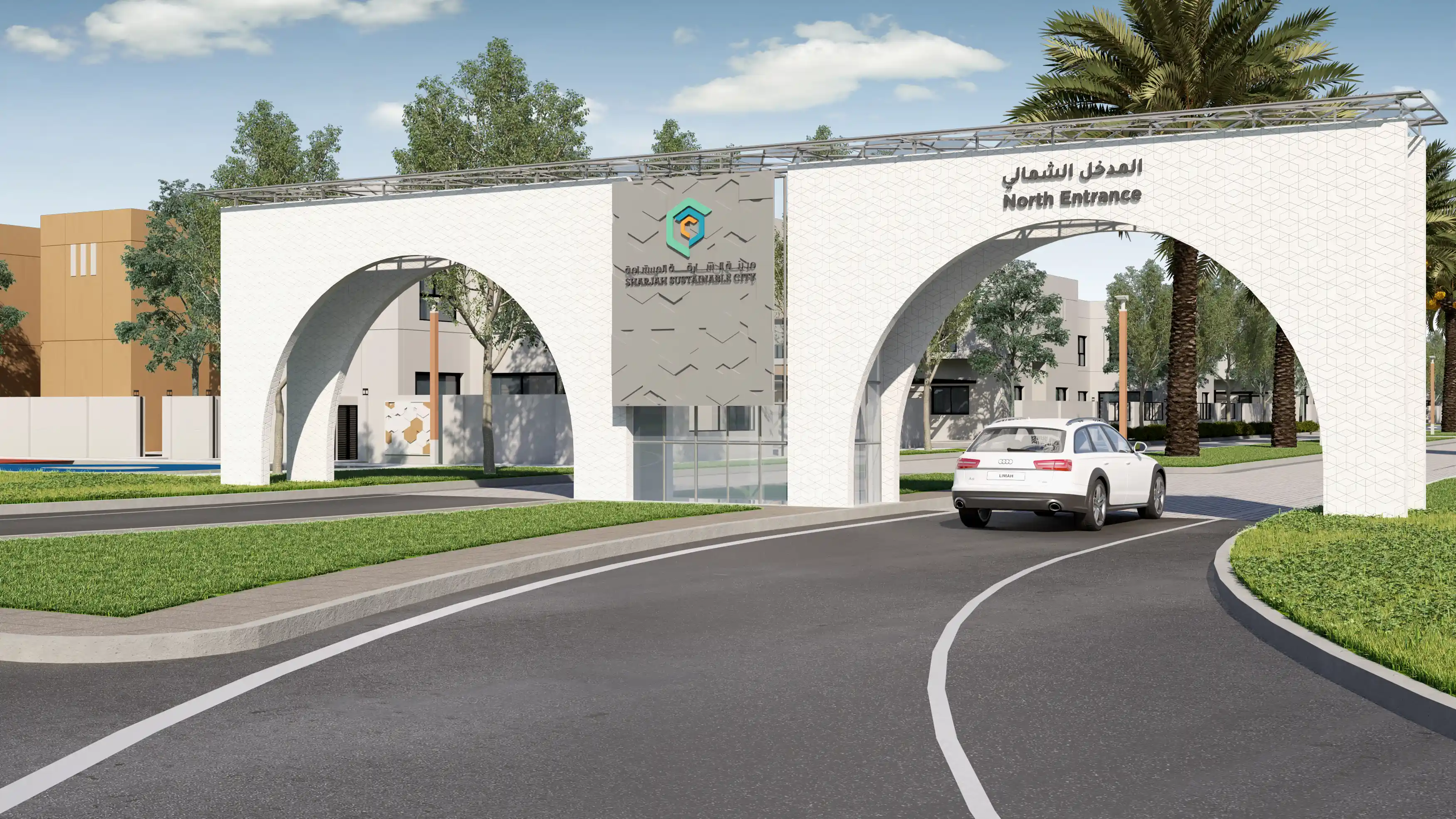
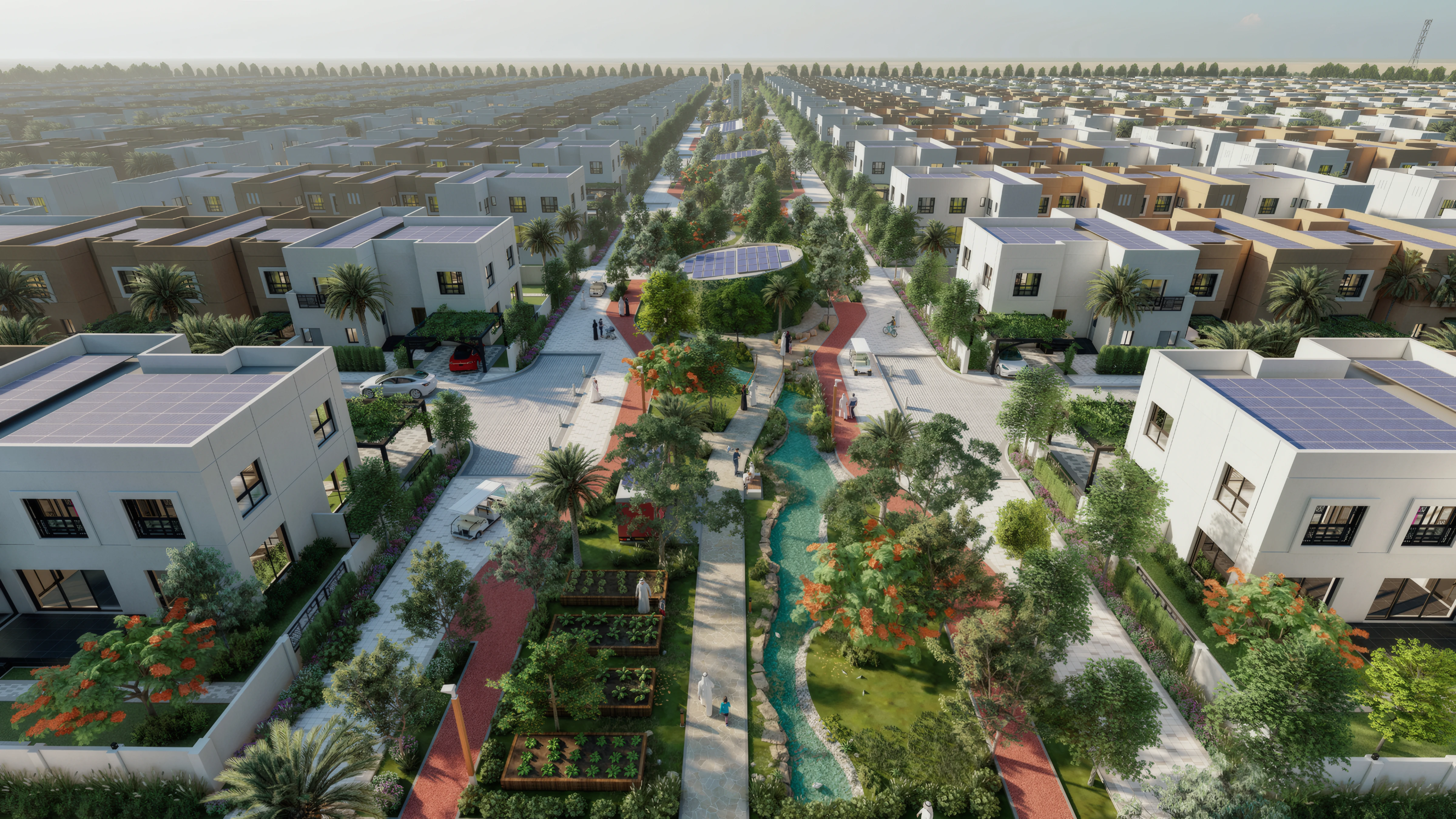
Sharjah Sustainable City (SSC) represents a pioneering shift toward net-zero living, where environmental stewardship meets modern residential luxury. Our role was to engineer an exterior masterplan wayfinding strategy that mirrors the city’s commitment to efficiency and innovation. By analysing the complex "Green Spine" and its relationship to the diverse residential facilities, we developed a navigational framework that treats movement as a core component of sustainable living. The strategy transforms the site’s pathways into an intuitive network, guiding residents and visitors through a sequence of mosques, community centres, and active zones.

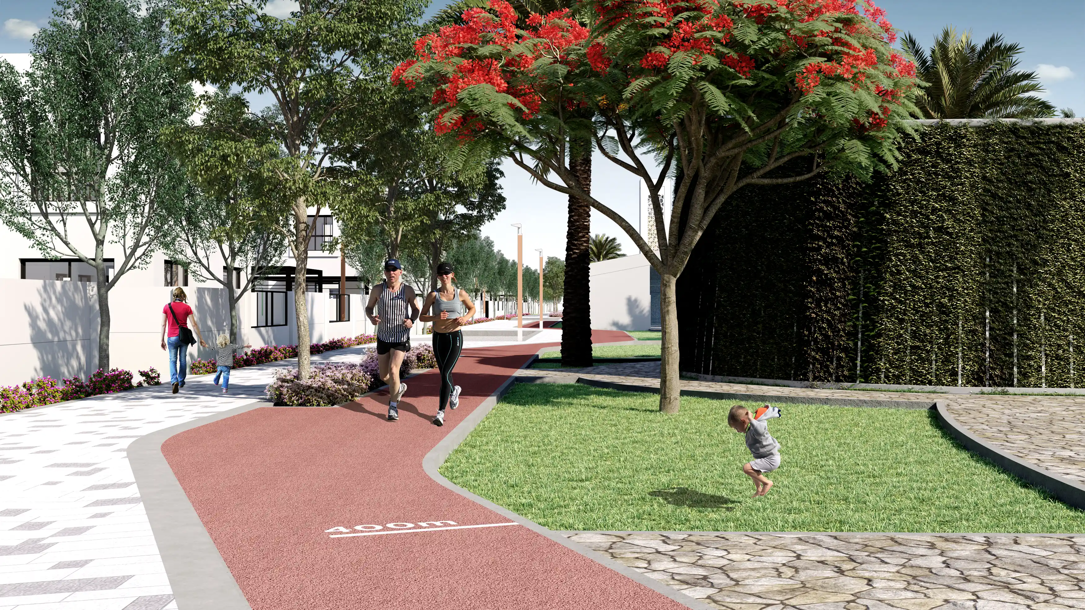
A robust address system and street naming logic was introduced, simplifying the urban grid without disrupting the landscape's aesthetic. From the placement of Villa IDs to the orchestration of multimodal circulation, including dedicated jogging and cycling tracks, every physical touchpoint was designed to enhance the unique user experience of a future-forward community. This system reinforces the city’s identity, creating a high-performance interface between the residents and their environment.

‍

STRATEGIC DRIVERS

  • Create a clear and intuitive navigation system across a large-scale residential masterplan
  • Support residents, visitors, and service users with consistent orientation at multiple scales
  • Integrate wayfinding seamlessly within the landscape and architectural character of the development
  • Develop a robust address and street naming framework to improve clarity and operational efficiency
  • Encourage walkability, cycling, and multimodal movement throughout the community
EXPERIENCE STRATEGY AND DESIGN

READING THE COMMUNITY

We began with a comprehensive review of the masterplan to understand spatial relationships, movement patterns, and key access points across the development. The project required clarity at both neighbourhood and street level, balancing the needs of residents navigating the site daily with those of visitors and service users requiring immediate orientation. Our approach prioritised simplicity, consistency, and ease of understanding to create a system that feels natural to use over time.

‍

STRUCTURING MOVEMENT

Rather than relying on an excessive quantity of signage, we focused on building a clear navigational structure into the environment itself. Street naming became a core component of the strategy, combining district references with a numerical street sequence that users can understand instantly. Alongside this, we developed a unified address system where villa numbering follows a logical progression from a defined baseline point, creating consistent and easily identifiable addresses across the site.

‍

SUPPORTING EVERYDAY NAVIGATION

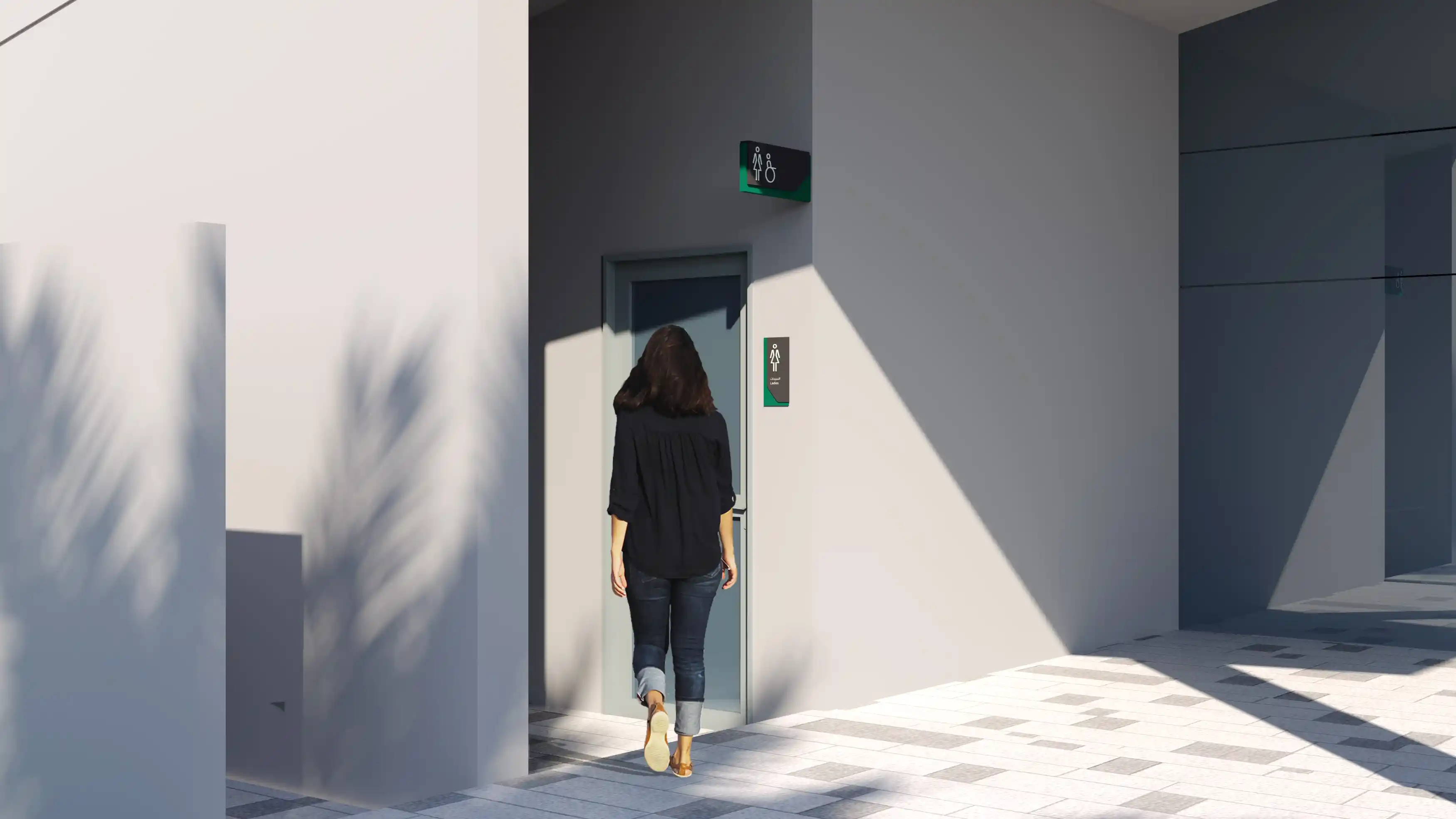
We mapped the full spectrum of movement throughout the development, including pedestrians, cyclists, joggers, vehicles, and buggies, to determine where information would be most effective. This informed the hierarchy, placement, and content of wayfinding elements across the community.

FEATURE MOMENT

COLOUR REINFORCED ORIENTATION

A restrained district-based colour palette reinforces orientation subtly within the landscape. Drawing from existing green tones across the development, the system supports zoning and recognition without overpowering the architectural and environmental character of the site.

No items found.

The final wayfinding framework creates a clear and intuitive experience across Sharjah Sustainable City, supporting daily life through structure, simplicity, and thoughtful integration. By transforming navigation into a seamless part of the environment, the project strengthens the connection between people, movement, and place, reflecting how we create exceptional human experiences.

Pedestrian Directional signage at Sharjah Sustainable City, as part of LIMAH's masterplan wayfinding strategy
Project
/

Sharjah Sustainable City

Sharjah, UAE

Sharjah Sustainable City
2021
Project
/

Sharjah Sustainable City

Sharjah, UAE

Sharjah Sustainable City (SSC) represents a pioneering shift toward net-zero living, where environmental stewardship meets modern residential luxury. Our role was to engineer an exterior masterplan wayfinding strategy that mirrors the city’s commitment to efficiency and innovation. By analysing the complex "Green Spine" and its relationship to the diverse residential facilities, we developed a navigational framework that treats movement as a core component of sustainable living. The strategy transforms the site’s pathways into an intuitive network, guiding residents and visitors through a sequence of mosques, community centres, and active zones.

A robust address system and street naming logic was introduced, simplifying the urban grid without disrupting the landscape's aesthetic. From the placement of Villa IDs to the orchestration of multimodal circulation, including dedicated jogging and cycling tracks, every physical touchpoint was designed to enhance the unique user experience of a future-forward community. This system reinforces the city’s identity, creating a high-performance interface between the residents and their environment.

‍

STRATEGIC DRIVERS

  • Create a clear and intuitive navigation system across a large-scale residential masterplan
  • Support residents, visitors, and service users with consistent orientation at multiple scales
  • Integrate wayfinding seamlessly within the landscape and architectural character of the development
  • Develop a robust address and street naming framework to improve clarity and operational efficiency
  • Encourage walkability, cycling, and multimodal movement throughout the community
EXPERIENCE STRATEGY AND DESIGN

READING THE COMMUNITY

We began with a comprehensive review of the masterplan to understand spatial relationships, movement patterns, and key access points across the development. The project required clarity at both neighbourhood and street level, balancing the needs of residents navigating the site daily with those of visitors and service users requiring immediate orientation. Our approach prioritised simplicity, consistency, and ease of understanding to create a system that feels natural to use over time.

‍

STRUCTURING MOVEMENT

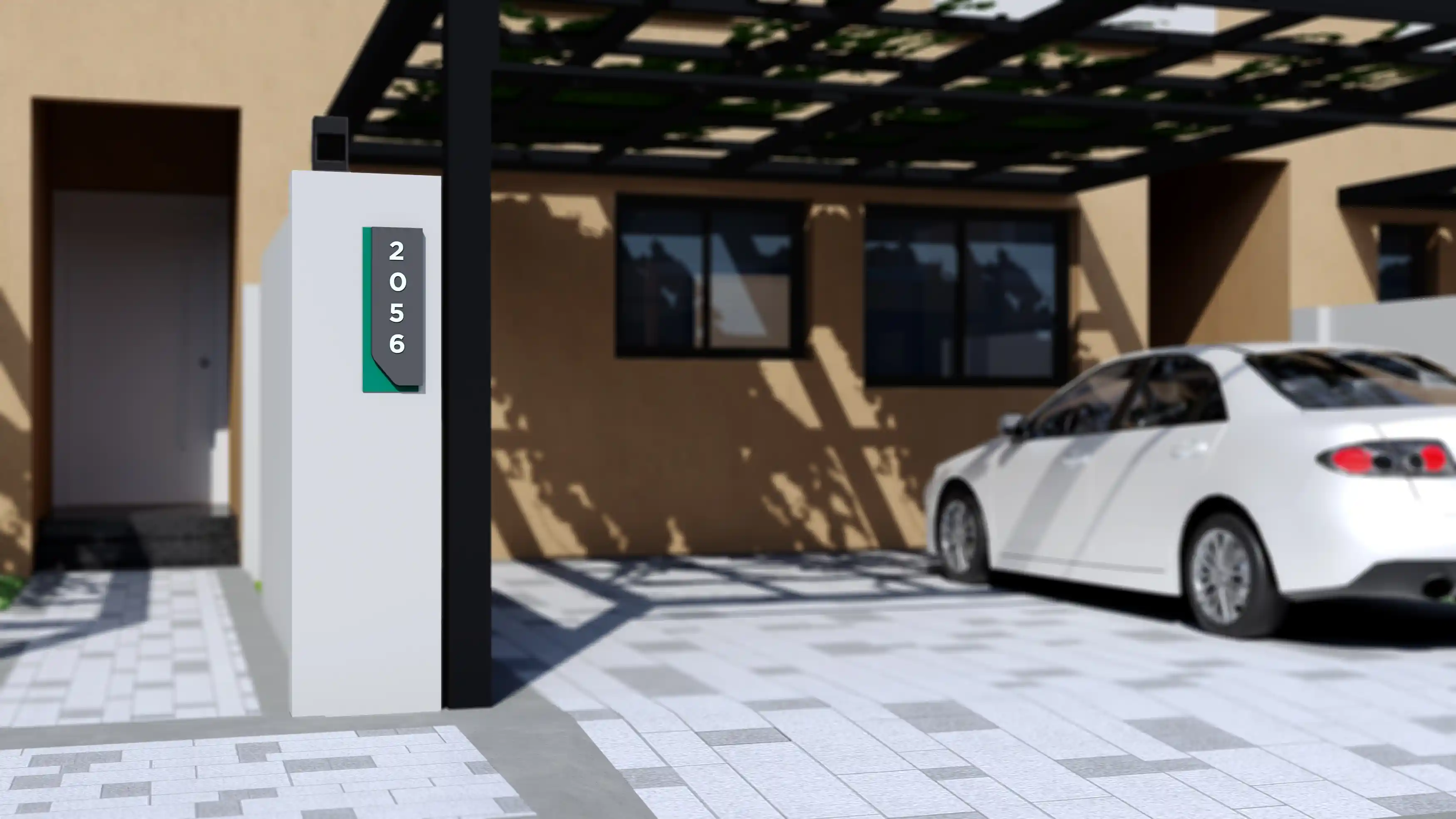
Rather than relying on an excessive quantity of signage, we focused on building a clear navigational structure into the environment itself. Street naming became a core component of the strategy, combining district references with a numerical street sequence that users can understand instantly. Alongside this, we developed a unified address system where villa numbering follows a logical progression from a defined baseline point, creating consistent and easily identifiable addresses across the site.

‍

SUPPORTING EVERYDAY NAVIGATION

We mapped the full spectrum of movement throughout the development, including pedestrians, cyclists, joggers, vehicles, and buggies, to determine where information would be most effective. This informed the hierarchy, placement, and content of wayfinding elements across the community.

No items found.

FEATURE MOMENT

COLOUR REINFORCED ORIENTATION

A restrained district-based colour palette reinforces orientation subtly within the landscape. Drawing from existing green tones across the development, the system supports zoning and recognition without overpowering the architectural and environmental character of the site.

No items found.

The final wayfinding framework creates a clear and intuitive experience across Sharjah Sustainable City, supporting daily life through structure, simplicity, and thoughtful integration. By transforming navigation into a seamless part of the environment, the project strengthens the connection between people, movement, and place, reflecting how we create exceptional human experiences.

Pedestrian Directional signage at Sharjah Sustainable City, as part of LIMAH's masterplan wayfinding strategy
Project
/

Sharjah Sustainable City

Sharjah, UAE

PUBLIC ART
/
LA MER
2023
Project
/

Sharjah Sustainable City

Sharjah, UAE

YEAR
2021
CLIENT
Sharjah Sustainable City
LOCATION
Sharjah, UAE
SERVICES
Wayfinding & Navigation
,
Built Environment Integration
,
Technical Delivery & Governance
,
SECTOR
Cities & Masterplans
,
Residential
,
Parks & Public Realm
,
SHARE BY
https://pb-cb6cbd.webflow.io/projects/sharjah-sustainable-city

Sharjah Sustainable City (SSC) represents a pioneering shift toward net-zero living, where environmental stewardship meets modern residential luxury. Our role was to engineer an exterior masterplan wayfinding strategy that mirrors the city’s commitment to efficiency and innovation. By analysing the complex "Green Spine" and its relationship to the diverse residential facilities, we developed a navigational framework that treats movement as a core component of sustainable living. The strategy transforms the site’s pathways into an intuitive network, guiding residents and visitors through a sequence of mosques, community centres, and active zones.

A robust address system and street naming logic was introduced, simplifying the urban grid without disrupting the landscape's aesthetic. From the placement of Villa IDs to the orchestration of multimodal circulation, including dedicated jogging and cycling tracks, every physical touchpoint was designed to enhance the unique user experience of a future-forward community. This system reinforces the city’s identity, creating a high-performance interface between the residents and their environment.

‍

STRATEGIC DRIVERS

  • Create a clear and intuitive navigation system across a large-scale residential masterplan
  • Support residents, visitors, and service users with consistent orientation at multiple scales
  • Integrate wayfinding seamlessly within the landscape and architectural character of the development
  • Develop a robust address and street naming framework to improve clarity and operational efficiency
  • Encourage walkability, cycling, and multimodal movement throughout the community
No items found.

READING THE COMMUNITY

We began with a comprehensive review of the masterplan to understand spatial relationships, movement patterns, and key access points across the development. The project required clarity at both neighbourhood and street level, balancing the needs of residents navigating the site daily with those of visitors and service users requiring immediate orientation. Our approach prioritised simplicity, consistency, and ease of understanding to create a system that feels natural to use over time.

‍

STRUCTURING MOVEMENT

Rather than relying on an excessive quantity of signage, we focused on building a clear navigational structure into the environment itself. Street naming became a core component of the strategy, combining district references with a numerical street sequence that users can understand instantly. Alongside this, we developed a unified address system where villa numbering follows a logical progression from a defined baseline point, creating consistent and easily identifiable addresses across the site.

‍

SUPPORTING EVERYDAY NAVIGATION

We mapped the full spectrum of movement throughout the development, including pedestrians, cyclists, joggers, vehicles, and buggies, to determine where information would be most effective. This informed the hierarchy, placement, and content of wayfinding elements across the community.

No items found.